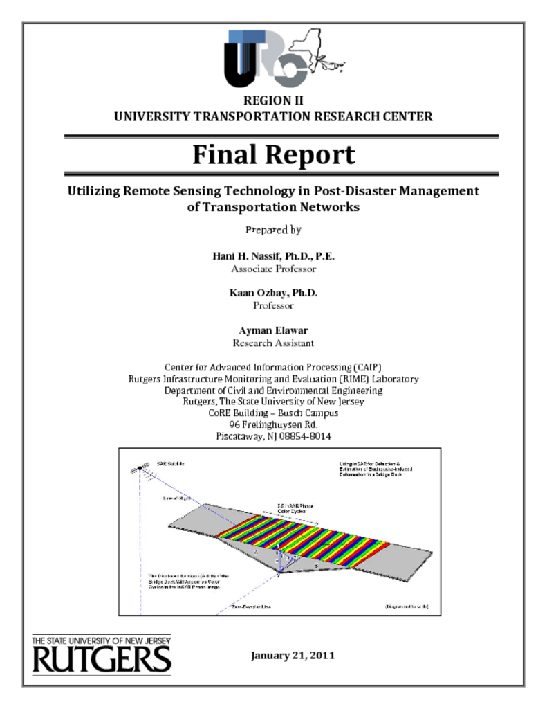
Infrastructure system components such as bridges, highways, tunnels, traffic systems, road pavements, and other systems are considered assets that should be protected and properly managed. Yet, the degree of deterioration and the risk of exposure to natural (e.g., earthquakes, floods, etc.) as well as malicious disasters are dangerously high. Major decisions must be made to allocate the available but limited funds for maintaining and safeguarding our national infrastructure. Additionally, transportation services play an important role in post-di saster recovery and are an integra part of most response functions. These services are vital for iniitial rescue operations and disaster assistance. Traffic delays that occur during the reconstruction period can be greatly minimized through effective traffic management strategies. The need for vulnerability assessment and disaster mitigation in densely populated a reas, such as the NY/NJ metropolitan area, is obvious. In this project, we propose the use of novel remote sensing technologies to quickly assess damage to the transportation infrastructure. Some of the latest remote sensing technologies can detect very small displacements of infrastructure elements, such as roads and bridges, up to centimeter accuracy. Thus, this information a long with historic information about transportation infrastructure components combined with simple yet accurate structural engineering models can be used to determine individual components of a given network that are susceptible to failure under various loading conditions . This probabilistic failure mapping of the infrastructure can then be used to develop robust transportation and emergency response plans that minimize the risk of disruptions.


